Back to Projects
2023
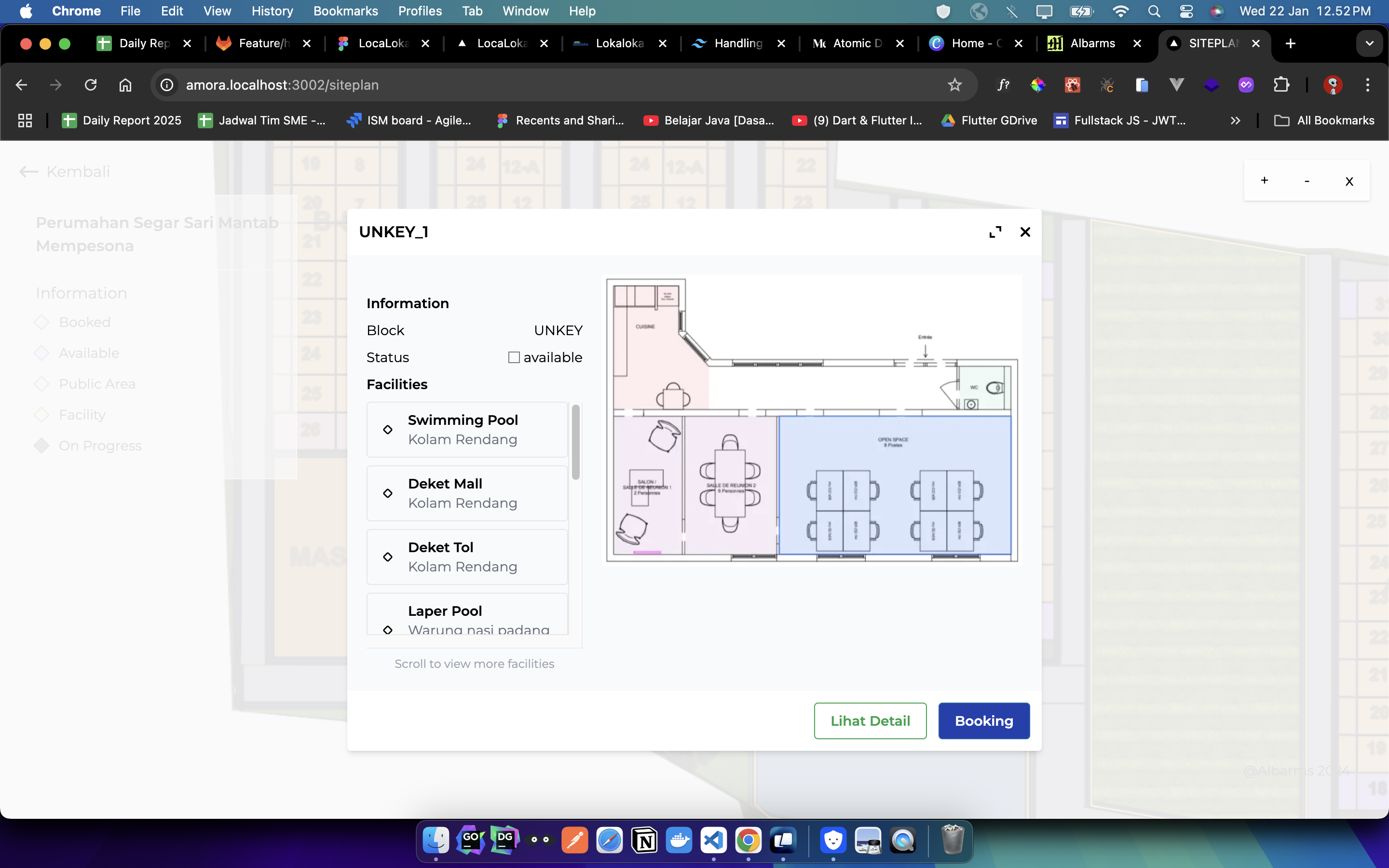
Interactive Static Map
Design & Fullstack Development
D3.js
React
Node.js
GeoJSON
Express
Brief
An innovative tool that transforms static GeoJSON data into fully interactive and filterable maps. This project was specifically tailored for analyzing housing data, allowing users to visualize complex datasets spatially.
Responsibility
- Handled full-stack development, creating both the backend API with Node.js/Express and the frontend with React.
- Utilized D3.js for powerful and custom data visualizations on the map.
- Implemented features for filtering, layering, and inspecting data points directly on the map interface.
- Designed the UI/UX to ensure the tool was intuitive for urban planners and data analysts.
- Processed and optimized large GeoJSON files for efficient rendering in the browser.
Result
Created a powerful data analysis tool that is now used by urban planning researchers to gain new insights from spatial housing data, reducing analysis time from days to minutes.